From inside the park
Stage at the park and ride south through the tunnel under SR-7 to Sand Mountain. The park's Sand Pit Campground is the closest camping to the OHV staging area and tunnel. Park entry fees apply.
 Compare the dunes
SOUTHWESTERN UTAH · UTAH STATE PARKS AND BLM
Utah's most visited state park sits against Sand Mountain, where red dunes and slickrock run south of the reservoir. Choose how you get onto the sand before you hitch up.

Weather and fuel update live when their feeds respond. Fees and access come from the managing agency.
Plan around the event access restrictions before reserving a campsite or choosing a staging lot. The overall event, park activity days and manufacturer demos use different date ranges.
| What | 2026 dates | Plan for |
|---|---|---|
| Overall UTV Takeover event | October 20 to 25 | Arrival, event days and departure have separate schedules. |
| South Beach activities on the park calendar | October 21 to 24 | Check the organizer schedule for each activity and vendor session. |
| Can-Am Maverick demonstrations | October 22 to 24 | Register with Can-Am and confirm eligibility and availability. |
Check what your event ticket includes before purchasing park admission separately. Camping and demo registration have their own arrangements. Start with the organizer ticket, camping and schedule links.
Use the Sand Hollow trip planner, access map and weather page to prepare. Set up Camp Compass before leaving coverage. For park access questions, call 435-680-0715.
Utah State Parks lists Sandpit Campground, Lakeview Campground, the primitive campground and the OHV parking lot as affected by UTV Takeover closures and restricted access. Confirm your reservation, event access and trailer parking with the park or organizer before arriving.
Sources: Utah State Parks: Sand Hollow access notice, Utah State Parks: October events, UTV Takeover: Hurricane, Can-Am events and demo registration. Checked October 12, 2026.
Sources: Utah State Parks: FY2026 visitation, Utah State Parks: Discover Sand Hollow, Utah State Parks: Sand Hollow park fees, BLM: Sand Mountain Open OHV Area, Utah State Parks: Sand Hollow current conditions. Checked September 10, 2026.
This is Sand Mountain beside Sand Hollow State Park near Hurricane, Utah. It is not the Sand Mountain dune inside Little Sahara, and it is not the Sand Mountain Recreation Area in Nevada. Utah State Parks describes 15,000 acres of red sand dunes here, and the park itself sits mostly on BLM land.

Source: Utah State Parks: Discover Sand Hollow. Checked September 10, 2026.
Stage at the park and ride south through the tunnel under SR-7 to Sand Mountain. The park's Sand Pit Campground is the closest camping to the OHV staging area and tunnel. Park entry fees apply.
BLM calls Waddy's Corral its developed trailhead and primary OHV access. From the Southern Parkway (SR-7), take the Sand Hollow Road exit and head south half a mile. BLM lists no fees.
Sources: Utah State Parks: Sand Pit Campground, BLM: Sand Mountain Open OHV Area. Checked September 10, 2026.
When the park last updated its conditions page on September 7, 2026, it listed a harmful algae warning advisory and health watch for the reservoir, no fires in any campground, and propane fires and barbecues only at primitive beach camping. These change, so check the current page before you go.
Treat the dates above as a snapshot. The park's current conditions page is the authority.
Source: Utah State Parks: Sand Hollow current conditions. Checked September 10, 2026.
Pick the campground, the way in and the stops worth adding.
Dunes, slickrock, the tunnel and Waddy's Corral.
Sand Pit, Westside, Beachside, Lakeview and BLM land.
Resident and non-resident prices and every campsite rate.
A warm corner of Utah, with summer heat to plan around.
The reservoir, the park and the OHV area.
Entering through Sand Hollow State Park means paying the park's day-use fee, $25 per vehicle for Utah residents or $35 for non-residents. BLM lists no fee at its Waddy's Corral trailhead.
From I-15 take the Hurricane exit (Exit 16), travel east on SR-9 about four miles to Sand Hollow Road, turn right and go south about three miles to the park entrance.
This is an independent planning guide. Fees, hours, closures, fire orders and riding boundaries change. Confirm the current details with Utah State Parks and the BLM St. George Field Office.

Dune Guide USA Radio Network
Original destination songs, Dusty Roads, remixes, and a few questionable sponsors.
Listen here ♫Save it before you leave cell service. Your ride can have a soundtrack too.
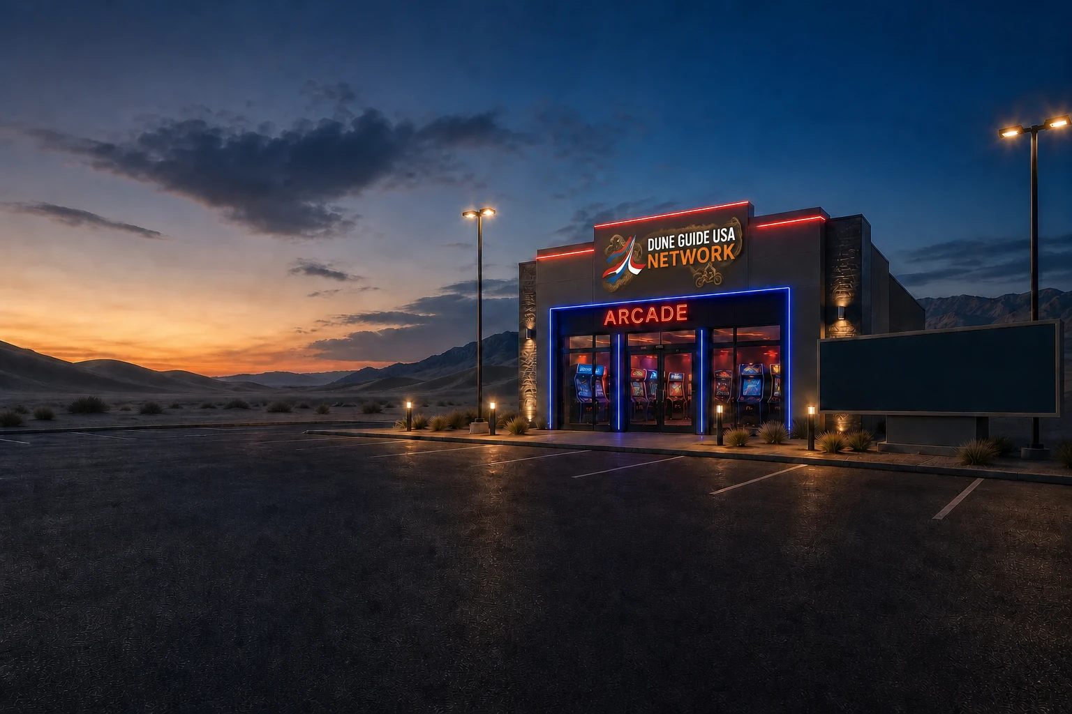
FREE DUNE GUIDE USA ARCADE
Explore the network’s available virtual dune adventures. Pick a ride and practice finding camp before the real weekend begins.
Enter the free Arcade →Virtual adventures do not replace current maps or riding rules.

CAMP COMPASS · FREE SAFETY TOOL
Save your actual camp before riding. Camp Compass uses your phone’s GPS to show the distance and direction back, even without cell service.
Install it while connected. Stop somewhere safe before using the phone; a bearing does not identify a safe or legal route.
Open Camp Compass → See how it works →STORIES FROM THE DUNES
The people behind the trips.When someone breaks down in the dunes, another rider gives up a little of their own day to help. That spirit is a big part of why I built Dune Guide USA.
Read the story →