
SAND HOLLOW · HISTORY
A water project
that became a playground.
The reservoir was built to store water underground. The state park, and one of Utah's busiest riding areas, grew up around it.
Sand on sandstone
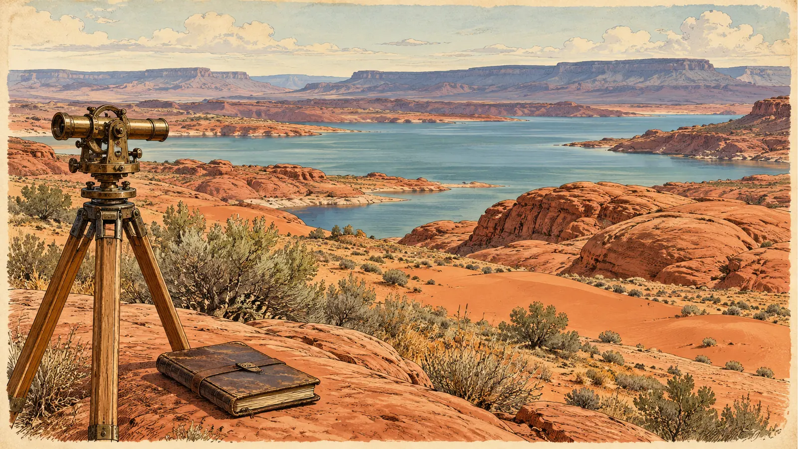
Sand Hollow sits on a natural Navajo sandstone aquifer. The Utah Geological Survey's GeoSights series covers the red dunes on the Navajo Sandstone at Sand Mountain, and Utah State Parks counts about 15,000 acres of those dunes today.
Sources: Washington County Water Conservancy District: reservoirs, Utah Geological Survey: GeoSights, Sand Dunes on the Navajo Sandstone at Sand Mountain, Utah State Parks: Discover Sand Hollow. Checked September 10, 2026.
A reservoir that fills the ground
The Washington County Water Conservancy District completed Sand Hollow Reservoir in 2002. It stores water from the Virgin River, holds 51,360 acre-feet on the surface, and sits over sandstone that can store more than 300,000 acre-feet underground. The district says 4,500 to 11,000 acre-feet seep into that underground storage every year.

Source: Washington County Water Conservancy District: reservoirs. Checked September 10, 2026.
The state park opens
In 2003 the 20,000-acre Sand Hollow State Park opened to the public. By the year ending June 2026 it had become the most visited park in Utah's system, with 1,408,754 visits.
Sources: Washington County Water Conservancy District: reservoirs, Utah State Parks: FY2026 visitation. Checked September 10, 2026.
BLM's Sand Mountain OHV area
Interior Department testimony in 2017 described the Sand Mountain Special Recreation Management Area as a roughly 40,000-acre area BLM established in 1999, about 21,000 acres of it designated for open OHV use. That testimony addressed S. 837, a bill to convey about 19,000 acres of the area to Washington County for continued open OHV riding. Interior backed the goal while asking that the land stay available for cross-country motorized recreation. BLM still lists and manages the Sand Mountain Open OHV Area today.

Sources: U.S. Department of the Interior: S. 837 testimony, 2017, BLM: Sand Mountain Open OHV Area. Checked September 10, 2026.
This is an independent planning guide. Fees, hours, closures, fire orders and riding boundaries change. Confirm the current details with Utah State Parks and the BLM St. George Field Office.